A WITNESS TO TIME [1]
Marker Image:
Marker Location:
County:
Where Found:
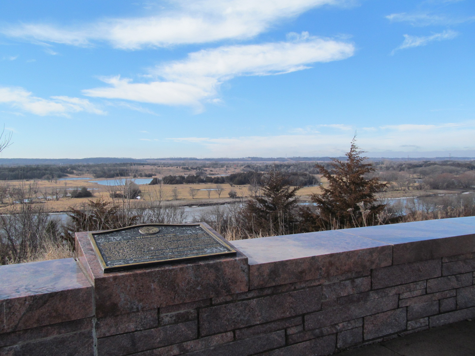
Located on US highway 212 at a wayside 1.25 miles east of Granite Fall.
Text On Markers:
A WITNESS TO TIME
The Minnesota River Valley is a witness to time. Rocks formed 3.8 billion years ago—some of the oldest in the world—lie exposed on the valley floor. These grey, pink, and red granite rocks are memorials to a fiery young earth when molten rocks in the planet's interior pushed against the earth's crust, deforming it, creating mountains four miles high. For eons, water and ice relentlessly eroded the mountains, eventually leaving a subdued plain.
At the close of the last ice age, 12,000 years ago, mile-high glaciers melted, forming Glacial Lake Agassiz to the north of here. The outlet for the lake was Glacial River Warren whose torrent carved the large valley you see. The abrasive current streamlined the rock outcrop-pings which lay in its way. The roar of rushing water and tumbling boulders would have been heard for miles. Today, the gentle Minnesota River creates barely a whisper as it flows almost unnoticed in the shadow of its prehistoric glory.
Across the river, spearheads, knives, hide-scrapers, and other stone tools have been discovered in association with extinct forms of bison. These bison butchering have dated human occupation of the valley to 6,400 years ago. 1992.
Marker Number:
Region:
Date Update:
Information Needed:
- Marker Images
Condition of Marker:
- Fair