RED WING REGION [1]
Marker Image:
Marker Location:
County:
Where Found:
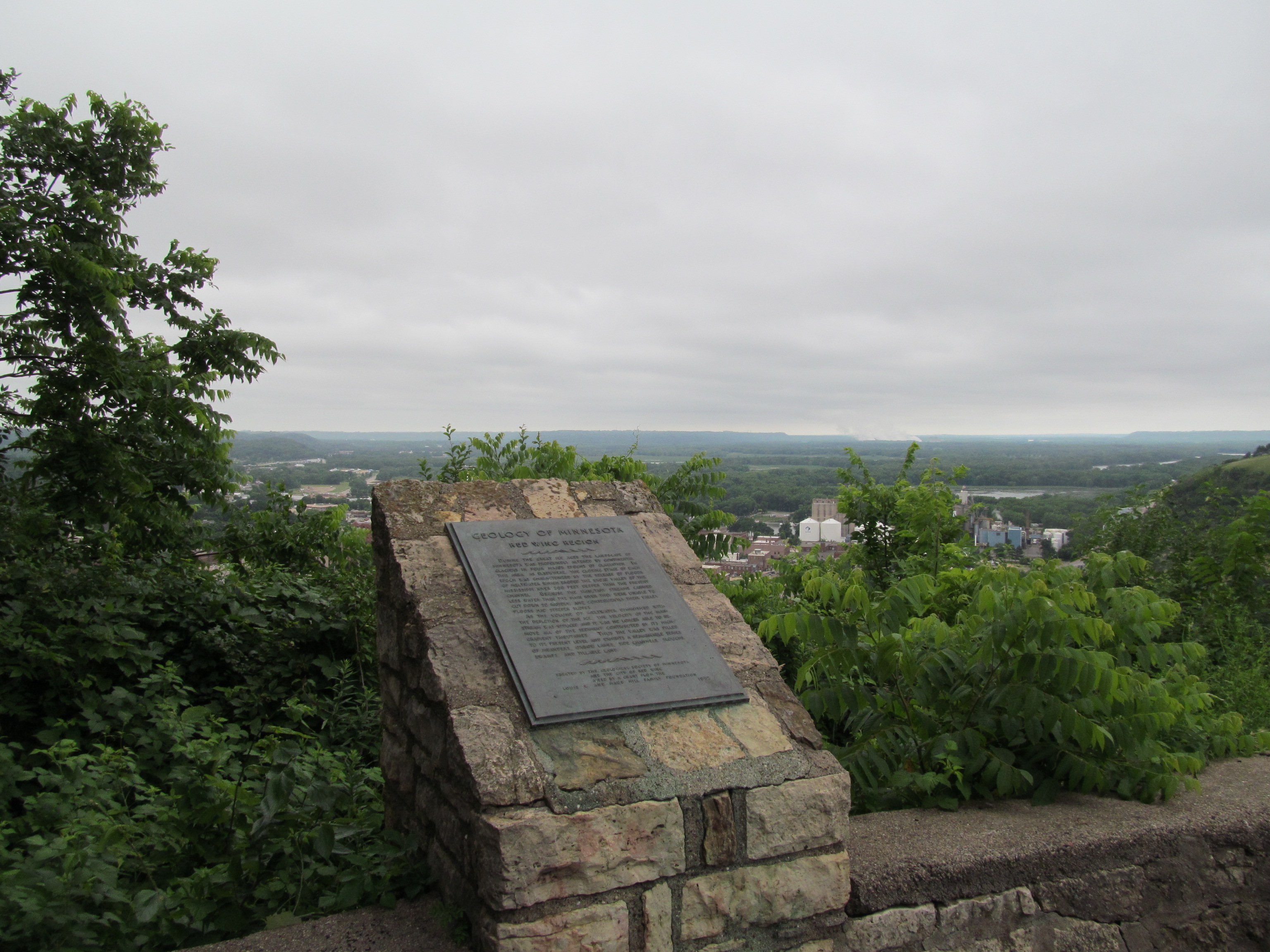
Located off U.S. highways 61 and 63 in Memorial Park in Red Wing
Text On Markers:
During the great ice ages the landscape of Minnesota was profoundly altered by continental glaciers in four major epochs of glaciation. In this area, as elsewhere, the closing stage of each epoch was characterized by the release of floods of meltwater which eroded the broad valley of the Mississippi River 200 feet deeper than the present channel. Because the tributary streams carried less water than the main river they were unable to cut down so rapidly, and consequently their valley floors had steeper slopes.
As the volume of meltwater diminished with the depletion of the ice, the velocity of the main stream was reduced and it was no longer able to remove all of the sediment contributed by its high-gradient tributaries. Thus the valley was filled to its present level and exhibits a remarkable series of meanders, oxbow lakes, side channels, sloughs, swamps, and tillable land.
Erected by the Geological Society of Minnesota and the City of Red Wing aided by a grant from the Louis W. and Maud Hill Family Foundation. 1955
Marker Number:
Region:
Date Update:
Information Needed:
- Marker Images
Marker Made Of:
Condition of Marker:
- Good